Data Acquisition Campaign (Feb’24)
As part of the project “A System for the Automatic Management of Green Areas“, the MAPIR group went out into the field this week to collect data on different crops and green areas. The project aims to enable real-time monitoring and control of agricultural areas and urban spaces, optimizing resource use and ensuring more sustainable and efficient management.
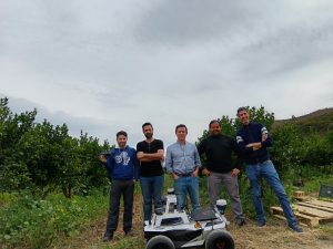
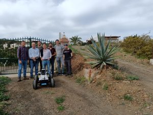
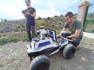
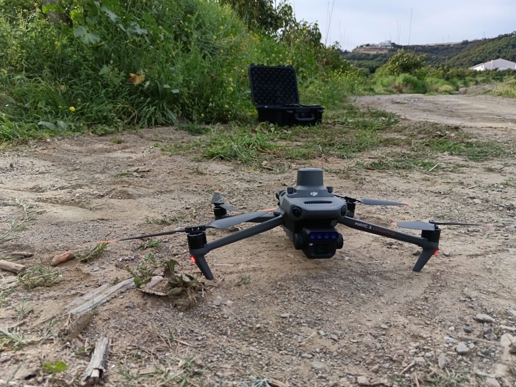
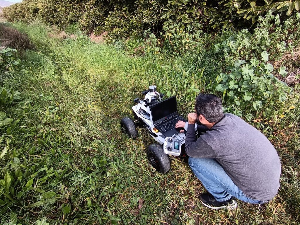
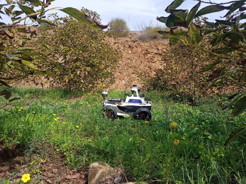
In this campaign, we collected aerial data with a multispectral camera mounted on our drone, as well as ground data from our wheeled robot. The goal was to inspect and record the cultivated trees from different perspectives that could help to determine their condition (hydration, diseases, health status, etc.).
Although there is still a lot of work to be done, here we show some of the data captured and photos of the gathering process.